
APPLICATIONS CLOSED
Machine Learning for Earth Observation
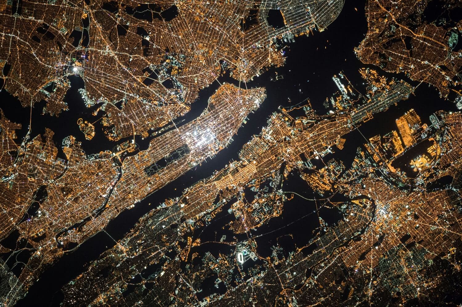
Automating detection and classification of Earth features to improve geospatial data for humanitarian response and development planning.
View project
A year-long open-source AI collaboration using satellite, drone, and street-level imagery to support humanitarian and climate action.
Explore the projects
Omdena and HOT joined forces to extract actionable insight from satellite, drone, and street-level imagery for humanitarian and climate actors worldwide.
Applications for this cohort are closed.
Automating detection and classification of Earth features to improve geospatial data for humanitarian response and development planning.
View project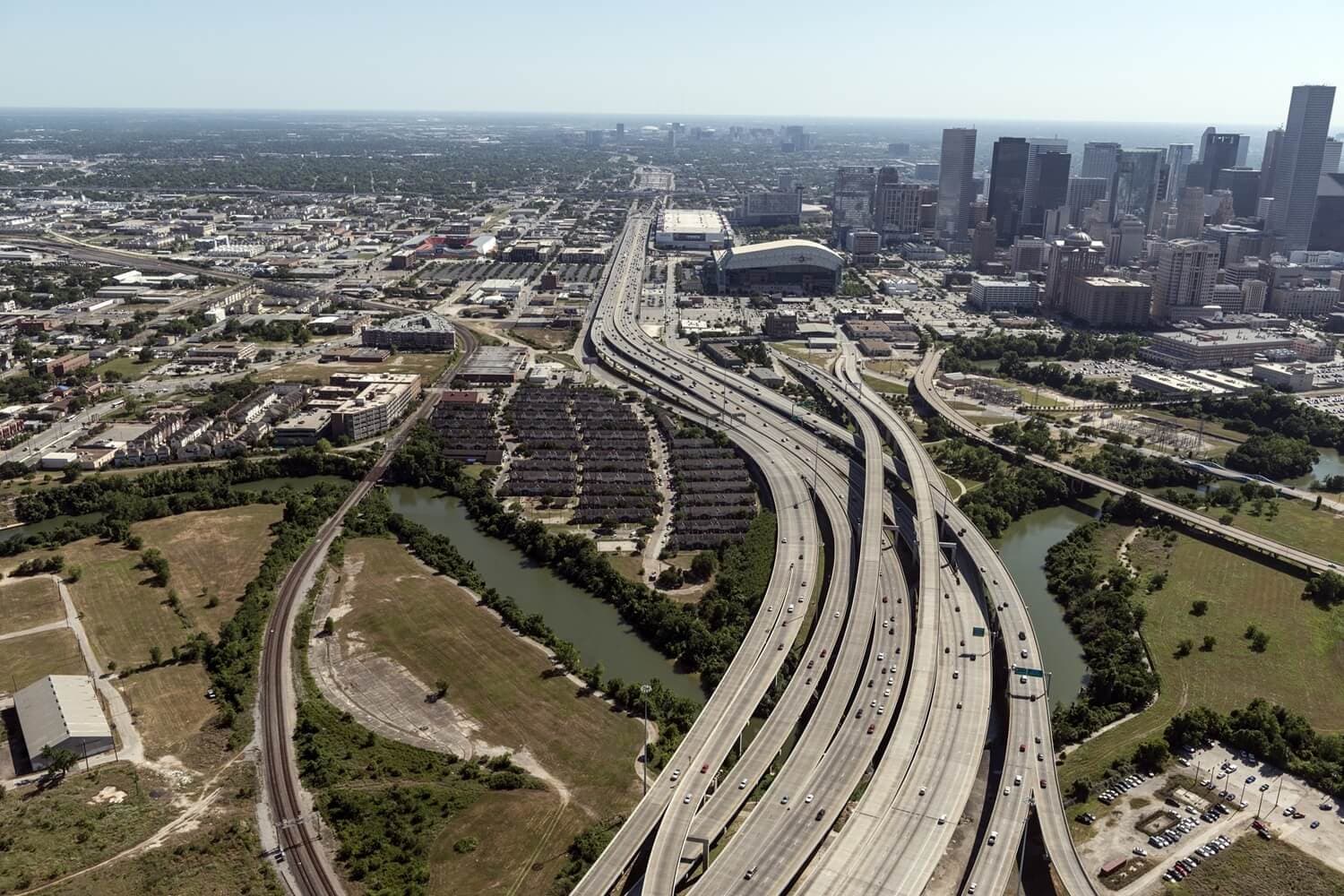
Processing, classifying, and visualizing street-level imagery for urban planning and development.
View project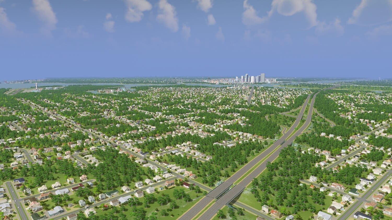
Extracting features from 3D imagery and point-cloud data for city planning, disaster preparedness, and environmental monitoring.
View projectPotential long-term collaboration opportunities with HOT for top performers.
Work on humanitarian response, climate action, and disaster-preparedness challenges.
Build practical geospatial AI experience with a global humanitarian mapping partner.