
MODEL 01
Remote sensing
Analyze satellite and aerial imagery across time and geography.
- Production-aware
- Reviewed with evidence
Geospatial AI combines mapping, spatial analytics and remote-sensing data to monitor change and improve location-based decisions.
Mapping
Core capability
Satellite
Applied to the workflow
VERIFIED DELIVERY
The service scope, implementation and production evidence stay connected throughout delivery.
Analyze satellite and aerial imagery across time and geography.
Combine geographic layers to reveal patterns and priorities.
Deliver results through useful maps, dashboards and operational tools.
Implementation, evaluation and operational handover stay connected throughout the delivery workflow.
WHAT THIS MAKES PRACTICAL
FLOW - assess - build - embed
Problem, users, data and measurable success criteria
Working implementation integrated with the target workflow
Quality, risk and operational evidence
Handover, monitoring and ownership
Create a focused system around a validated user and business need.
Add intelligence to a workflow without losing review and accountability.
Replace fragile experiments with observable production engineering.
Leave teams with reusable code, documentation and operating knowledge.
Confirm the problem, data, users and constraints.
Choose the architecture, evaluation plan and integration path.
Implement the system in reviewable delivery increments.
Test quality and operational fit against agreed criteria.
Ship with documentation, monitoring and clear ownership.
Applied
People practice on real AI workflows instead of passive slideware.
1 project
A real deliverable your team owns, produced during the program itself.
In-house
The workflow, tooling and judgement to keep building after the engagement ends.
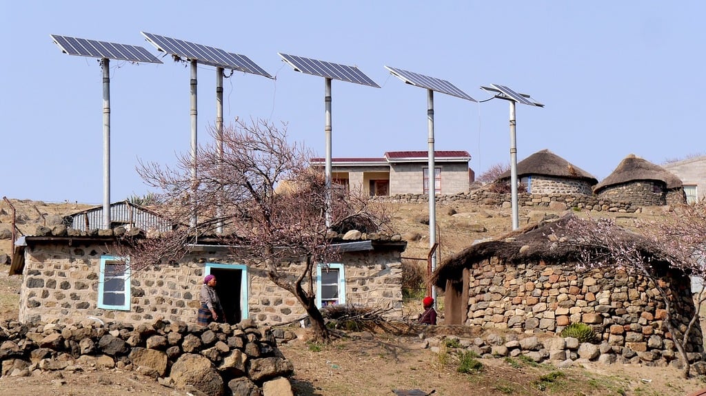 Geospatial AI · Energy
Combining satellite imagery, demographic, and infrastructure data to prioritize rural electrification investments.
Read case study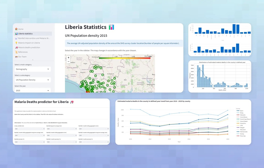 Computer Vision · Health
Smart diagnostic and surveillance tools supporting field workers in low-connectivity environments.
Read case study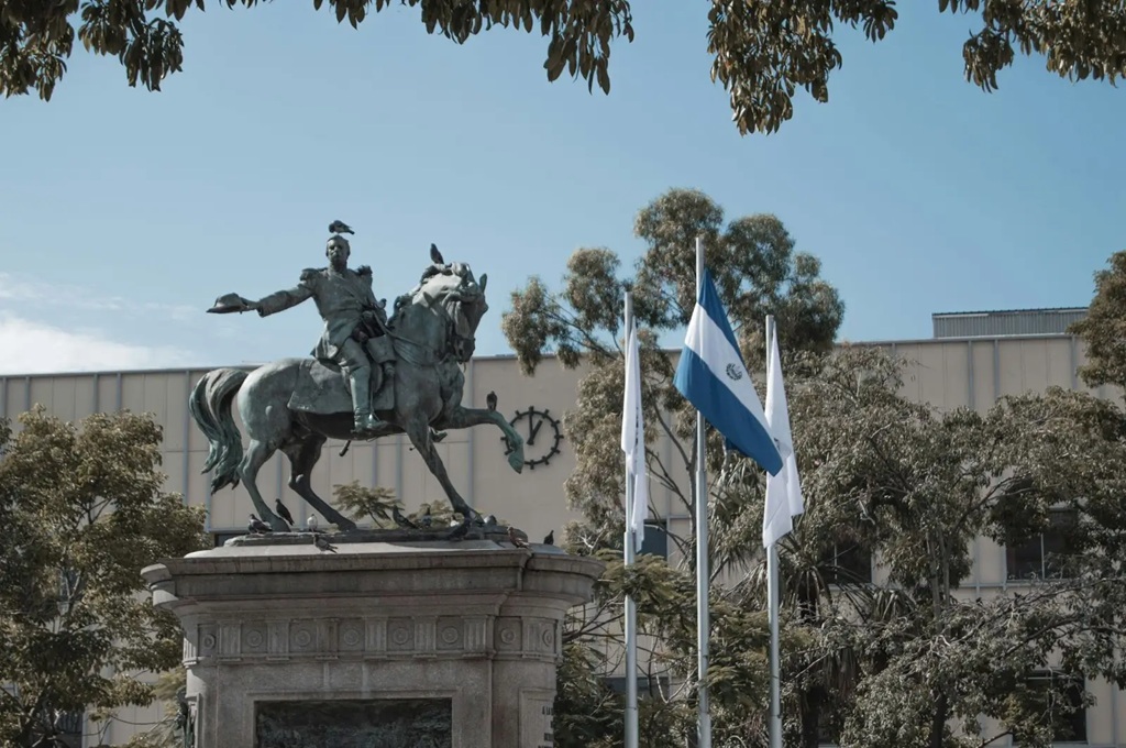 NLP · Public Sector
Multilingual NLP pipelines that detect coordinated narratives and surface verifiable signals.
Read case study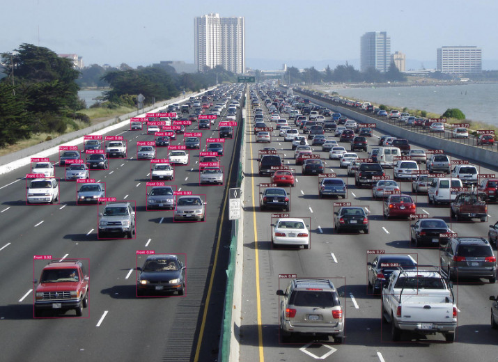 Predictive ML · Mobility
Spatio-temporal models that forecast congestion and inform city operations in near real time.
Read case studyCourses teach concepts; this builds capability. Your team works on a real project with your data and senior mentorship.
We tailor the curriculum to the audience, from data scientists and engineers to analysts and leaders who need informed AI decisions.
Yes. Building on a problem your organization cares about makes the learning stick and produces something useful.
Often it is the foundation. Capacity building seeds the skills, standards and tooling a Centre of Excellence runs on.
Talk to a solutions architect about your workflow, data and production requirements.
Discuss a project