Smart farming tools use AI, IoT, and automation to improve efficiency and decision-making in agriculture. Precision farming tools are a key part of these systems, helping farmers optimise inputs and increase yield. Choosing the right tools can significantly impact productivity and costs, but with so many options available, it is not always clear which ones are worth using.
This guide breaks down smart farming tools, focusing on key precision technologies and when to use each for better efficiency and yield.
1. Drones for Crop Monitoring
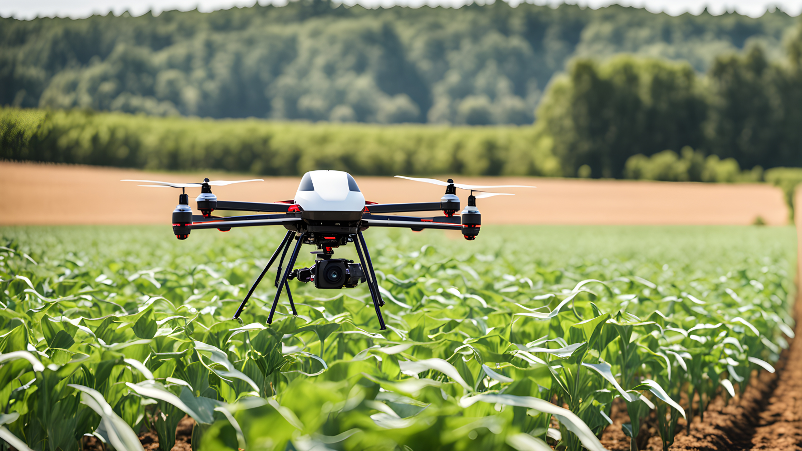
Drones with multispectral or thermal cameras scan your entire field from above, detecting crop stress, pest damage, water issues, and disease before they are visible on the ground. Research on predicting plant health using multispectral drone data shows how this translates into actionable field insights.
- Covers 200–400 acres per flight
- Detects crop stress 7–14 days earlier than ground scouting
- Reduces chemical input by up to 25% when used with precision spraying (FAO)
- Cost: $3,000–$6,000 (entry-level multispectral) / $8,000–$25,000 (professional) / $5–$15 per acre as a service
Best for: Large farms where manual scouting is too slow or covers too little ground.
2. Soil Moisture Sensors
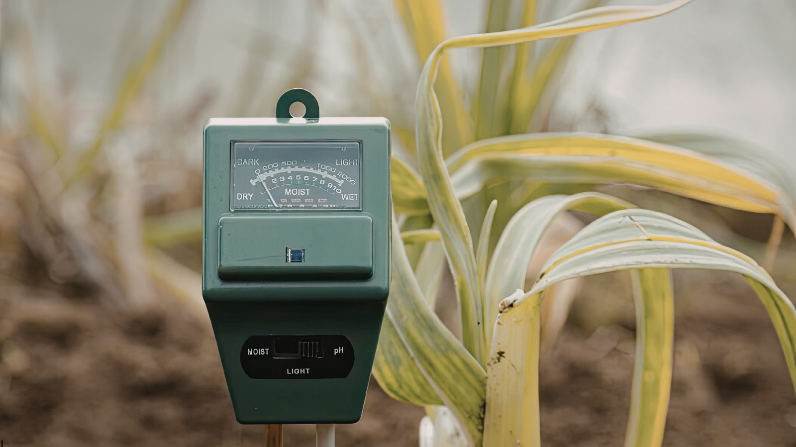
Soil moisture sensors are installed at varying root-zone depths to continuously measure soil water availability, giving farmers precise, real-time data to base irrigation decisions on actual field conditions rather than fixed schedules or estimates.
- Reduces water use by 20–50% without hurting yield (USDA ARS)
- Prevents crop stress from both over- and underwatering
- Works with most drip and pivot irrigation systems
- Cost: $50–$300 per basic unit / $500–$1,500 for professional multi-depth systems
Best for: Any farm that irrigates, especially in water-restricted regions or areas with unpredictable rainfall.
3. Smart Irrigation Systems
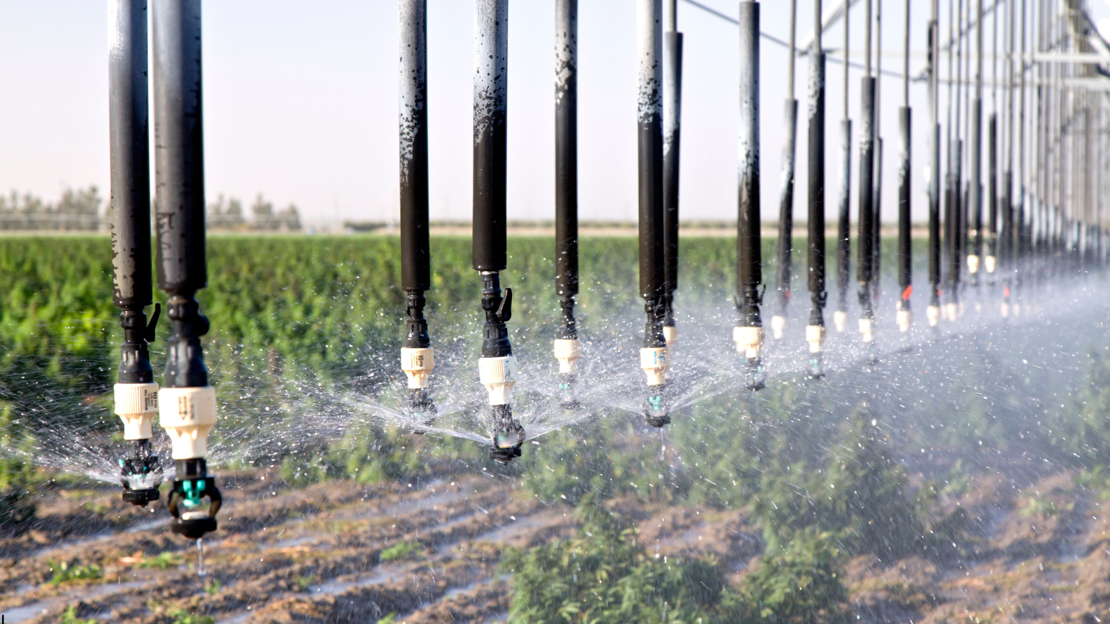
Smart irrigation uses soil moisture data, weather forecasts, and evapotranspiration models to adjust watering schedules with no manual input automatically. See how smart irrigation systems are applied in agriculture to maximize water efficiency.
- Cuts water use by 30–50% vs. traditional timer-based systems
- Controllable remotely via smartphone
- Typically pays back within 1–3 seasons
- Cost: $100–$500 (smart controller only) / $2,000–$15,000 (full system with sensors and software)
Best for: Farms growing high-value crops like vegetables, fruit, or specialty grains where water stress at the wrong time cuts quality and revenue.
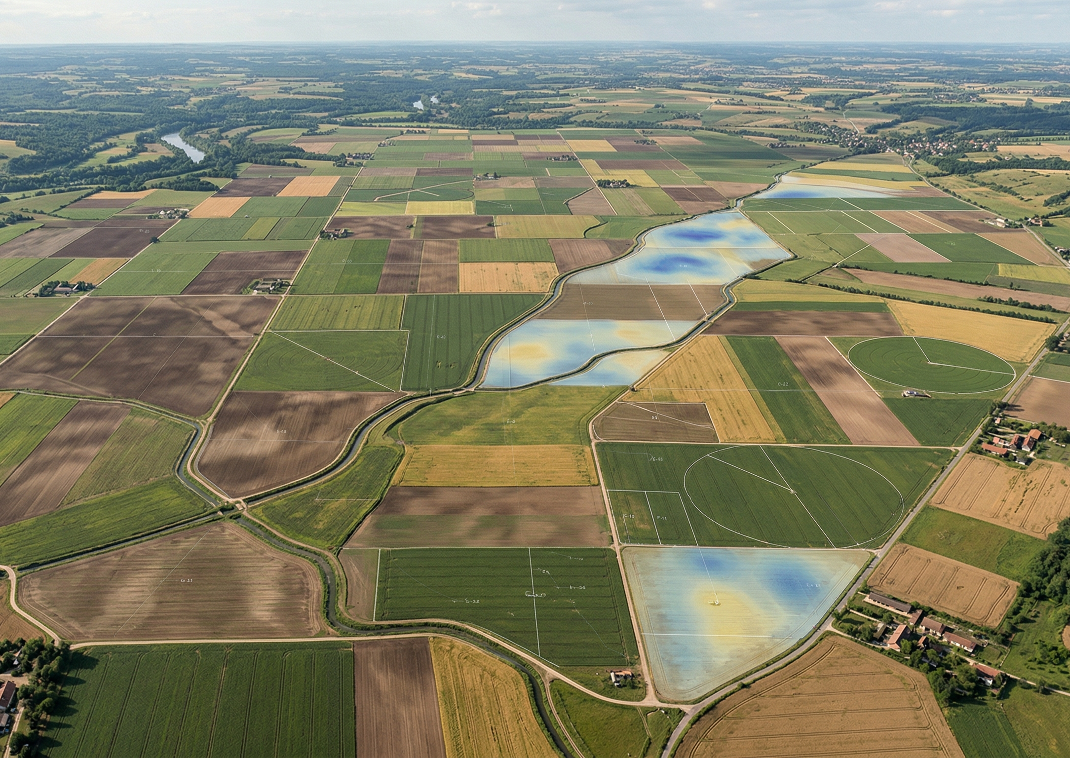
4. Satellite Imaging
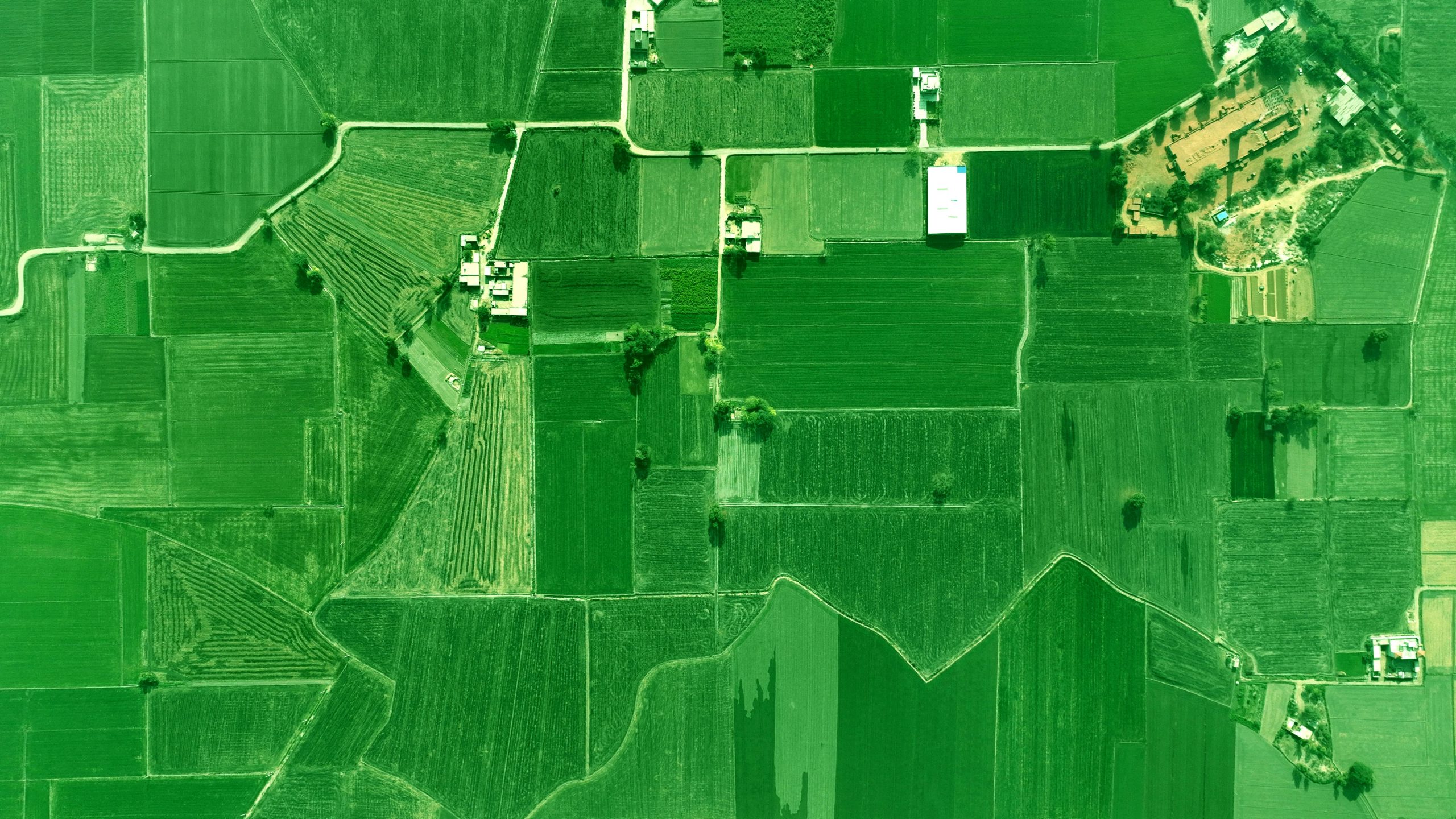
Satellite services deliver regular NDVI maps of your fields, showing where crops are healthy, stressed, or underperforming, regardless of field size, without on-farm equipment. This has been applied in practice to detect armyworm damage using satellite imagery at scale.
- Standard agricultural resolution: 3–10m (Sentinel-2 at 10m, Planet at 3m) / Up to 40 cm from high-resolution commercial providers
- Revisit frequency: every 1–5 days, depending on the provider
- Free access available via Sentinel-2 (ESA)
- Cost: Free (Sentinel-2, MODIS) / $300–$1,500/year (mid-tier) / $1,000–$5,000/year (high-resolution commercial)
Best for: Large-scale operations that need field-wide visibility regularly.
5. GPS-Guided Farming Equipment
GPS guidance on tractors, sprayers, and combines delivers centimeter-level accuracy across every pass, eliminating overlap and skipped rows even in low visibility or at night.
- Reduces input overlap by 10–15%
- Cuts fuel use by 10–12% per season (USDA ERS)
- RTK systems achieve 2.5 cm accuracy
- Cost: $1,500–$3,000 (light bar) / $5,000–$15,000 (auto-steer) / $500–$1,500/year for RTK correction service
Best for: Grain and row-crop operations where planting accuracy and input efficiency directly affect margins.
6. Farm Management Software (FMS)

FMS platforms consolidate all your farm data into one dashboard: field records, input costs, spray logs, labor schedules, and compliance documents. No more scattered spreadsheets.
- Reduces record-keeping time by up to 60%
- Supports food safety traceability and compliance documentation
- Integrates with GPS equipment, sensors, and accounting tools
- Cost: Free tiers available / Paid plans $500–$5,000/year depending on farm size
Popular platforms: John Deere Operations Center, Granular, Trimble Ag Software, Agrivi.
Best for: Farms managing multiple fields, employees, or crop types, and operations that sell into markets requiring traceability records.
7. Variable Rate Technology (VRT)
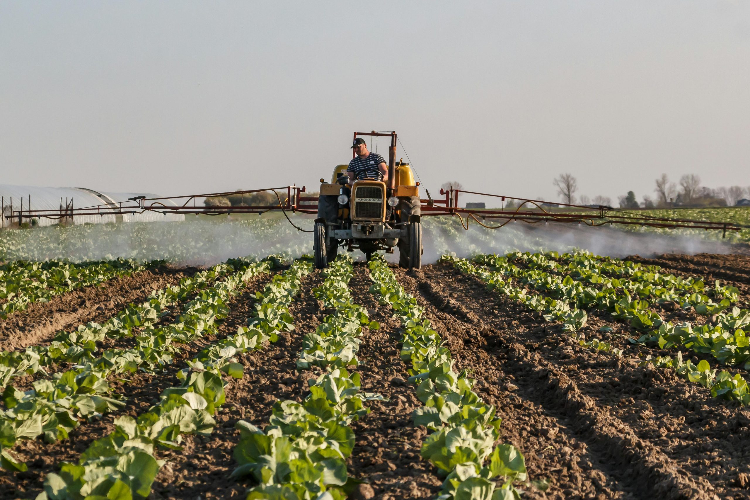
VRT applies seed, fertilizer, pesticide, or lime at different rates across zones within the same field, based on soil data and prescription maps rather than a flat uniform rate.
- Reduces fertilizer use by 15–20% while maintaining or improving yield (Purdue University)
- Built on GPS guidance and detailed soil sampling data
- Requires prescription maps to function properly
- Cost: $5,000–$15,000 (VRT controller) / $3–$10/acre for prescription maps / $3–$8/acre for soil sampling
Best for: Farms with variable soil types, fertility levels, or topography where uniform application wastes inputs in some zones and under-delivers in others.
8. On-Farm Weather Stations
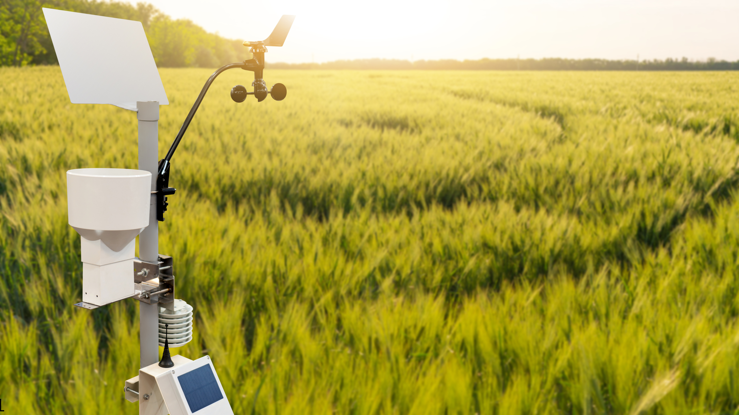
Your own weather station collects hyper-local temperature, humidity, rainfall, wind speed, and solar radiation data at the field level. National forecasts cannot provide this resolution for your specific location.
- Improves spray timing accuracy, reducing drift and runoff risk
- Supports disease pressure models for grapes, potatoes, cereals, and other sensitive crops
- Cost: $300–$2,000, depending on sensor configuration
Best for: Farms growing disease-sensitive crops, or operations in areas where local microclimates frequently differ from regional weather forecasts.
9. AI-Based Crop Monitoring
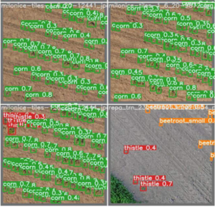
AI platforms analyze images from drones, satellites, or smartphones to automatically detect disease, pests, nutrient deficiencies, and weed pressure at scale, without requiring an agronomist on-site for every inspection. This approach has been applied in practice for weed and crop detection using computer vision.
- Detects crop diseases with 93–97% accuracy in real field conditions; up to 98% in controlled settings (Frontiers in Plant Science)
- Scans thousands of acres in minutes
- Cost: Free basic tier (Plantix) / $3–$8/acre or $500–$3,000/year for professional platforms
Best for: Farms dealing with recurring disease or pest pressure that require rapid, large-scale detection.
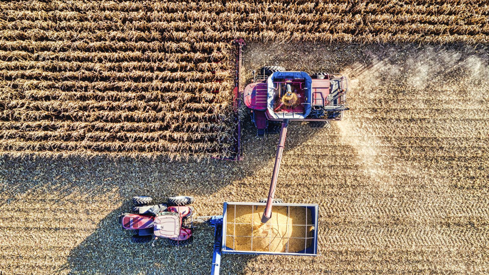
10. Yield Monitoring Systems
Yield monitors on combine harvesters measure crop output in real time and produce GPS-tagged yield maps, pinpointing exactly which zones in your field consistently over- or underperform.
- Identifies yield variability down to 1-meter resolution
- Multi-year yield maps are the foundation data for VRT prescription maps
- Cost: Built into most modern combines / $2,400–$6,000 retrofit for older machines + $250–$500/year subscription for data platform access
Best for: Grain and row-crop farmers who want to identify and fix the root cause of yield variability across their fields.
How AI Powers Smart Farming with Precision Technologies
AI works as the intelligence layer behind many of these tools. It turns raw data from drones, sensors, and satellites into specific recommendations: when to irrigate, where to spray, which zones need attention.
The results are measurable. In 2025, John Deere’s AI-powered See and Spray used computer vision to detect and target only weeds across 5 million acres. It cut non-residual herbicide use by nearly 50%, saved 31 million gallons of herbicide mix, and helped some growers gain up to 4.8 extra bushels per acre (Global Ag Tech Initiative). Beyond spraying, McKinsey projects 10–20% yield improvement for farms using AI-driven management broadly (McKinsey). For a deeper look at how AI is transforming agriculture across these areas, see this guide on AI in agriculture.
Which Tool Should You Start With?
| Your Biggest Problem | Start Here |
| Can’t spot crop disease fast enough | Drones or AI monitoring |
| High water costs or crop stress from irrigation | Soil moisture sensors |
| Wasting fertilizer or seed across the field | Yield monitor, then VRT |
| Fields vary, and you don’t know why | Satellite imaging + soil sampling |
| Too much time on paperwork and records | Farm management software |
| Input overlap and fuel waste during fieldwork | GPS-guided equipment |
| Spray timing is off, or disease pressure is high | On-farm weather station |
Start with one tool that solves your biggest problem. Measure the result. Build from there.
Conclusion
Smart farming is transforming agriculture, and precision farming plays a key role in making these technologies practical and effective at the field level. The tools covered in this guide are now accessible across different scales and budgets, with a lower barrier to entry than many farmers expect.
The key is not to adopt everything at once. Start with the tool that solves your most immediate challenge, validate its impact, and expand from there. Farms that follow this approach consistently see better returns than those trying to implement everything at once.
Organisations exploring AI-driven farm management can connect with Omdena to apply these tools to improve crop monitoring, yield optimisation, and farm decision-making.